
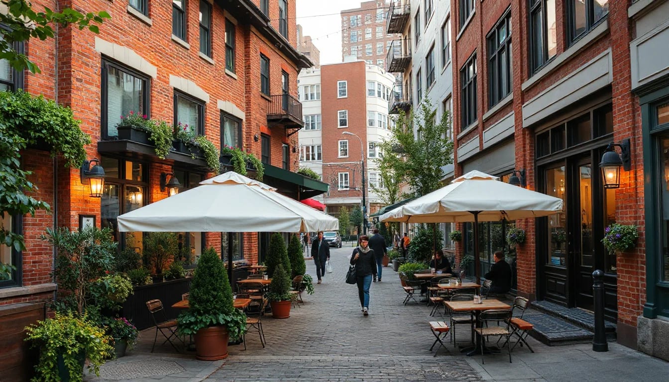
Seattle’s greenways, parks, neighborhood gathering places, and transit routes can turn an ordinary errand into a walk, ride, or waterfront pause. Whether you are comparing parts of the city or simply planning a more connected weekly routine, understanding how these systems overlap makes Seattle easier to explore.
A City Built for Everyday Detours
Seattle is often experienced in layers: a tree-lined residential street, a trail that slips beneath a canopy of maples, a pocket park with a bench facing the water, then a frequent bus route or rail station that carries you across the city. These connections are part of what gives the city its rhythm. A short trip for groceries, a coffee break, or an evening walk can become an opportunity to notice a new block, shoreline view, public garden, or neighborhood gathering place.
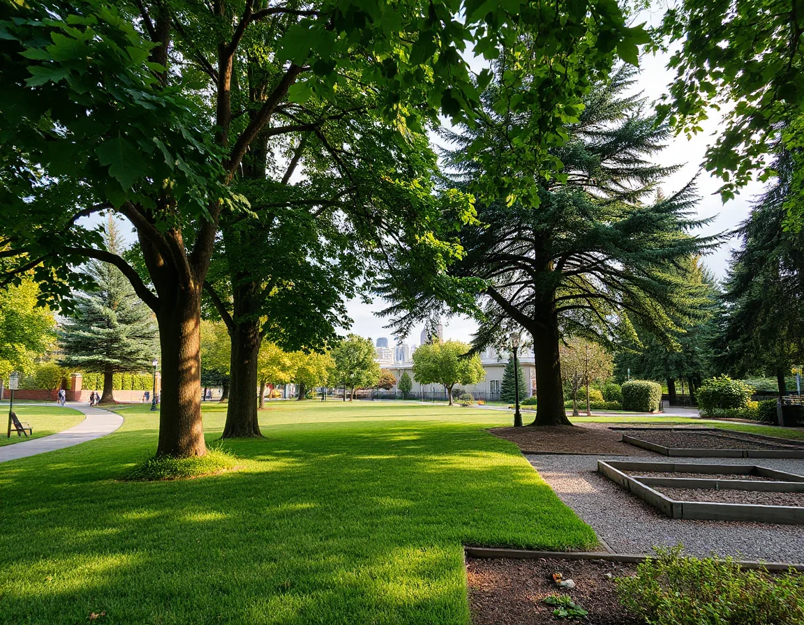
For people evaluating homes in Seattle, the nearby route matters as much as the destination. A calm greenway can make walking or cycling to a local business district feel more practical; a reliable transit connection can widen the range of places reachable without driving. These features also make it easier to enjoy different parts of the city without treating each outing like a major logistical project.
Seattle’s terrain adds personality to every route. Hills create surprising viewpoints, while bridges, stairways, waterfront paths, and protected crossings create choices that do not always appear on a standard map. The most useful way to get acquainted is to combine a destination with a route: pick a park, plan a meal or drink nearby, and let the walk, bike ride, or transit trip reveal what sits between them.
A five- to ten-minute walk can feel very different from one block to the next in Seattle, so test routes at the time of day you expect to use them—especially when comparing access to hills, crossings, and transit stops.
Greenways That Link Neighborhoods
Neighborhood greenways are lower-speed streets and connected routes designed to make walking and cycling more comfortable. They are not all identical: some follow quiet residential streets, while others connect to major trails, parks, transit hubs, or commercial corridors. Their value is often in the details—traffic-calming features, wayfinding signs, improved crossings, and the chance to travel several blocks without relying on the busiest roadway nearby.
The Burke-Gilman Trail is one of Seattle’s best-known shared-use routes, tracing a long path through northeast Seattle and along Lake Washington Ship Canal areas. It connects with university-adjacent districts, waterfront scenery, neighborhood parks, and everyday destinations. On the south end of the city, the Chief Sealth Trail offers another long-distance route with elevated views and connections through a different landscape. Along the west side, the Alki Trail brings pedestrians and cyclists close to Elliott Bay and views toward the city skyline.
Smaller greenways are equally important because they handle the “last mile” of daily life. A route may link a home to a bus stop, a library, a playground, a farmers market, or a local gathering space. When touring a property, it is worth looking beyond the closest arterial and noting whether the surrounding street network offers quieter alternatives for reaching the places you use most.
- Check whether a route has dedicated crossings at larger streets.
- Notice lighting, grade changes, and sidewalk conditions during an in-person visit.
- Look for connections to parks, transit, and neighborhood centers rather than viewing each amenity separately.
- Consider seasonal conditions, including rain, early sunsets, and leaf-covered paths.
Parks for Water, Woods, and Open Space
Seattle’s park system offers striking variety within city limits. Green Lake Park is a popular choice for a loop walk or run beside the water, with open views and an active path throughout the day. Gas Works Park pairs broad lawn space with industrial history and a memorable outlook across Lake Union. Discovery Park provides a more natural setting, with wooded trails, bluff views, and access toward Puget Sound. Seward Park, set on the Bailey Peninsula, offers forested paths and lakeside scenery close to southeast Seattle neighborhoods.
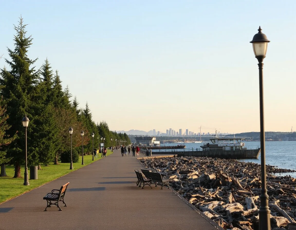
Then there are the smaller parks that can become regular parts of a routine: a hillside viewpoint, a garden tucked into a residential area, a playfield, or a shoreline access point. These spaces can make an area feel more navigable because they give a walk a purpose and provide natural pauses between larger destinations. Their appeal is not limited to sunny weather; misty mornings, changing foliage, and long summer evenings each give Seattle parks a different character.
When exploring a neighborhood, try arriving at a park by a route you would realistically use. Walk from a transit stop, cycle from a nearby trail, or park several blocks away and approach on foot. This provides a more complete picture than a quick drive-by and helps reveal how public space fits into the surrounding streetscape.
Seattle’s most memorable outdoor routes often combine two experiences: a greenway or trail for the journey and a waterfront, woodland, or hilltop park as the destination.
Coffee Stops and Neighborhood Gathering Places
Seattle’s coffee culture is woven into the city’s daily patterns, from early-morning commuting to an afternoon reset between appointments. Across the city, independent coffee counters and established local roasters offer places to pause near transit corridors, parks, and neighborhood centers. Rather than focusing only on a single destination, notice the practical relationship between a gathering place and the streets around it: Is there a bus stop nearby? Is there a bike rack? Can you continue to a park or another errand on foot?
Many neighborhood business districts are easy to explore in short loops. A transit ride can lead to a few blocks of food, services, and public space; a greenway may offer a calmer route back. Ballard, Fremont, Capitol Hill, Columbia City, West Seattle, Beacon Hill, Wallingford, and the University District each provide different combinations of terrain, local activity, and transportation options. The right fit is personal, so visiting at different times can be more informative than relying on a single impression.
For home buyers, this kind of exploration can clarify priorities that listing photos cannot answer. Some people value a direct rail connection; others prioritize a nearby trail, a park within walking distance, or a compact set of daily services. Defining those preferences early makes a property search more focused while leaving room for the pleasant surprises that Seattle blocks often provide.
Transit Connections That Expand the Map
Seattle’s transportation network includes Link light rail, buses, streetcar service in select areas, ferries, water taxis, and regional connections. Transit access is not simply about proximity to a station or stop; frequency, transfer options, walking routes, topography, and the location of everyday destinations all shape how useful a connection feels. A direct ride may be valuable for one routine, while a short transfer can work well for another.
Light rail has expanded the range of neighborhoods connected to central Seattle and other destinations along its corridor. Bus service remains essential across the city, particularly for reaching areas beyond rail stations or moving east-west. Ferry and water-taxi routes add another distinctive option, linking waterfront locations with views that make the trip itself part of the experience. Before making a housing decision, review current schedules and take a practice trip when possible, since service patterns can change.
A connected Seattle lifestyle can be assembled in many ways: walking to a nearby stop, biking along a neighborhood greenway, meeting a friend near a park, or choosing a scenic transit route for a weekend outing. The goal is not to find one universally “best” location, but to identify the combination of routes and destinations that supports your own day-to-day plans.
Explore Seattle area information
Make Exploration Part of Your Search
The best way to understand Seattle is to move through it. Bring comfortable shoes, check the weather, and leave time to take an unplanned turn toward a trail, waterfront overlook, or pocket park. A neighborhood’s character is often found in these small transitions—the block between transit and home, the path beside a green space, or the familiar place where a busy day slows down for a few minutes.
As you explore, keep notes on what feels convenient, inspiring, and practical. Those observations can help turn a broad search into a clear list of priorities, whether you are considering a home, a rental property, or a long-term real estate investment in the Seattle area.