
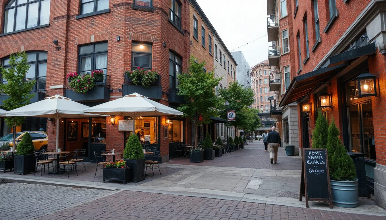
Seattle is a city of distinct daily rhythms: morning walks beside the water, an easy rail ride to an event, and an evening meal a few blocks from home. This guide looks past broad labels to the practical details that shape a move—parks, transit connections, dining districts, errands, and the housing styles found across the city.
Start With the Everyday Map
Seattle’s neighborhoods are best understood through the routines they make possible. A home search can begin with price and bedroom count, but the more revealing questions are often practical: Where is the nearest grocery store? Is there a park on the route to transit? How long does it take to reach work, school, appointments, or a favorite weekend activity? The answers vary block by block, even within the same neighborhood.
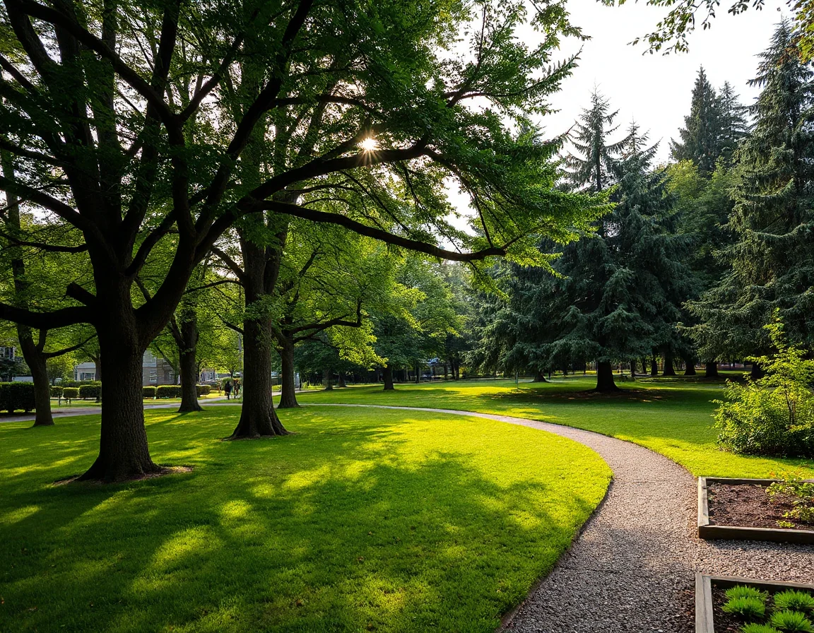
For many residents, green space is part of the city’s everyday infrastructure. Discovery Park offers wooded trails and shoreline views in Magnolia, while Gas Works Park creates a distinctive Lake Union destination near Wallingford. Volunteer Park adds gardens, paths, and cultural attractions to Capitol Hill, and Green Lake’s roughly 2.8-mile loop is a familiar setting for walking, running, and cycling. Smaller pocket parks, playfields, and waterfront viewpoints broaden the options throughout the city.
Access to these places is worth evaluating in person. A map may show a short distance, while hills, stairways, busy crossings, or limited sidewalks can change the experience of getting there. During a showing, take a few minutes to walk the likely route to a park, transit stop, or daily errand. It is one of the clearest ways to understand how a particular location may fit your schedule.
A five-minute map radius can feel very different on Seattle’s hills. Touring the route on foot can reveal more than a distance estimate alone.
Seattle’s landscape also means outdoor access takes many forms. West Seattle offers beaches and waterfront paths, while the north end includes destinations around Green Lake, Ravenna, and Carkeek Park. In central neighborhoods, landscaped boulevards and smaller public spaces can bring a welcome pause between errands. The goal is not to find one universally “best” location, but to identify the places and routes you would genuinely use often.
Transit, Walking, and Getting Around
Transportation is a major part of the Seattle housing conversation because commute patterns are personal and regional connections matter. Link light rail serves key destinations from Northgate through the University District, Capitol Hill, downtown Seattle, the stadium area, and south toward SeaTac Airport. Bus routes, RapidRide lines, ferries, bike lanes, and major roadways create additional options, though frequency and travel time should always be checked for the specific address and time of day.
Neighborhoods near rail stations can offer direct access to employment centers, entertainment venues, and regional travel connections. Areas such as Roosevelt, the University District, Capitol Hill, Beacon Hill, Columbia City, and Northgate each have their own mix of housing, streetscapes, and nearby services. Elsewhere, frequent bus service may be the more relevant consideration, especially for trips that do not line up with the rail corridor.
Walkability also has layers. Some areas make it simple to combine a grocery run, pharmacy stop, coffee break, and evening meal in one outing. In other parts of the city, a vehicle may be more useful for larger errands, trail access, or trips across town. Parking availability, alley access, driveway configuration, and guest parking can all influence daily convenience—particularly in dense urban areas where older homes and newer multifamily buildings sit close together.
When comparing homes, ask for a realistic transit check rather than relying only on a neighborhood name. Test an address against your most common destinations, including work, appointments, recreation, and airport trips. A location that works smoothly for one person’s weekly routine may feel entirely different for another, which is why local context matters as much as square footage.
Dining Districts and Daily Conveniences
Seattle’s food scene is woven into many neighborhood centers, from casual counter service and bakeries to longstanding seafood destinations, international cuisine, and seasonal farmers markets. Ballard’s historic core, Fremont’s lively streets, Capitol Hill’s varied dining options, Columbia City’s compact business district, and West Seattle Junction all provide distinct settings for an evening out or a quick meal between errands. Availability changes over time, but the variety is a consistent part of city life.
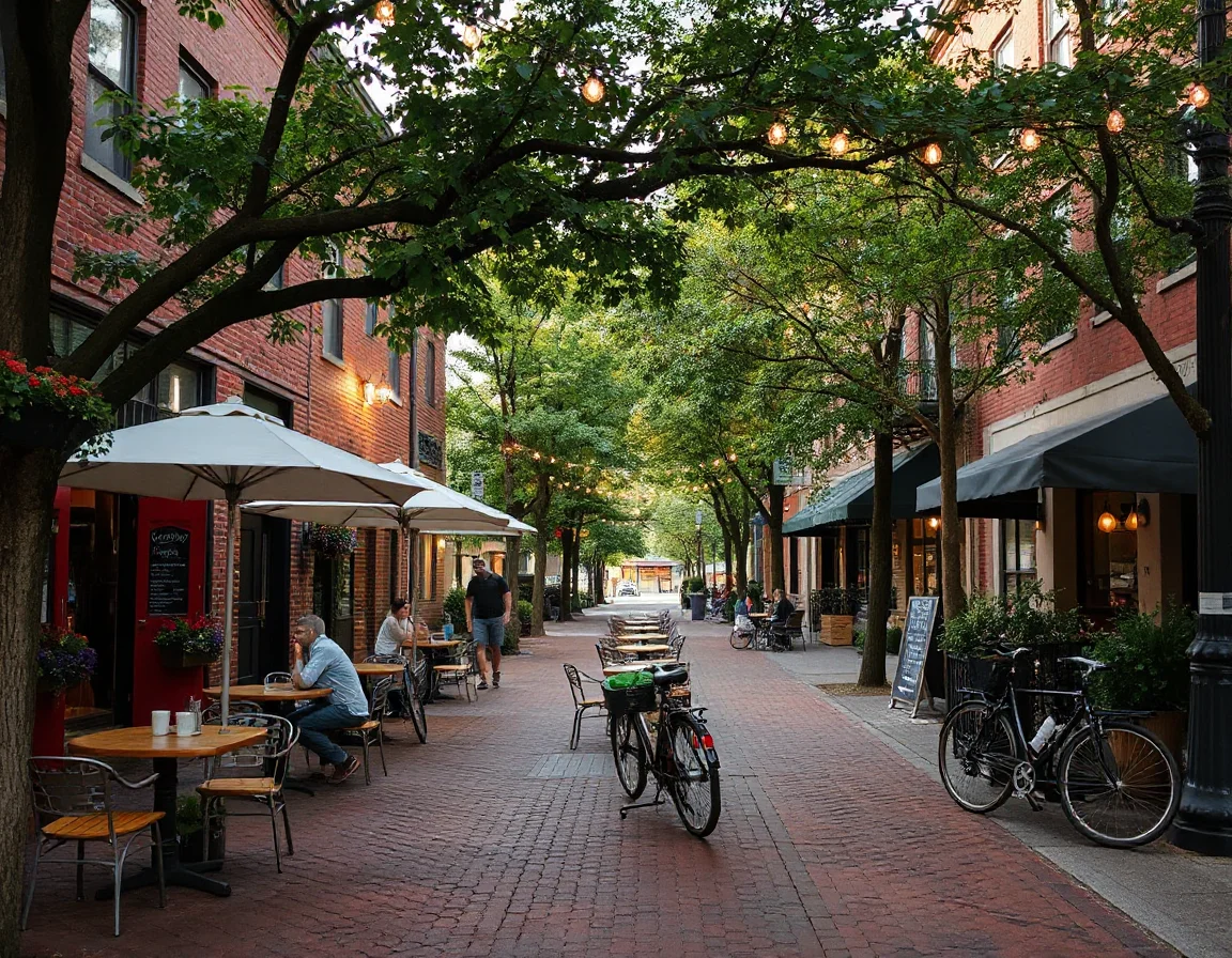
For day-to-day life, the essentials can be just as influential as destination dining. Seattle residents often compare grocery choices, pharmacies, fitness facilities, libraries, medical offices, hardware stores, pet services, and package pickup options when choosing where to live. Some neighborhoods concentrate these conveniences near a central corridor; others spread them along larger avenues or commercial hubs. Touring at different times can help clarify parking, sidewalk activity, noise levels, and operating hours.
Public libraries are another useful anchor. The Seattle Public Library system includes the Central Library downtown along with branches across the city, creating spaces for reading, technology access, programs, and community resources. Farmers markets add another weekly rhythm, with locations in neighborhoods including Ballard, University District, Capitol Hill, Columbia City, and West Seattle. These amenities are not a substitute for researching a specific home, but they can help describe how a neighborhood functions beyond its listing photos.
Housing styles shift quickly across Seattle. You may find compact condos near transit, classic Craftsman homes on established residential streets, townhomes near neighborhood centers, contemporary new construction, and larger homes with water or mountain outlooks. Condition, lot topography, renovation history, HOA details, and parking arrangements should all be reviewed alongside location. A beautiful view can be compelling, but a well-matched daily routine is often what makes a home feel sustainable over time.
A Practical Way to Compare Seattle Neighborhoods
Build a short list of three to five priorities before touring. It may include proximity to a particular transit line, access to a waterfront path, a preferred housing type, nearby grocery options, or room for a home office. Then distinguish between non-negotiables and features that would be nice to have. This makes it easier to compare neighborhoods fairly rather than making decisions based on a single memorable block or open house.
It is also helpful to visit at more than one time of day. Morning traffic, weekend activity, afternoon sunlight, and evening parking can all tell different stories. Review current transit schedules, confirm school information through official sources if it is relevant to your search, and ask about property-specific factors such as utility systems, permits, HOA reserves, and future development plans. A careful review supports a confident decision.
The most useful neighborhood comparison is a repeatable one: walk the same errands route, check the same travel times, and note what changes from address to address.
Seattle offers an unusual combination of urban energy and nearby natural scenery, but its real appeal is found in the details of everyday access. Whether you are drawn to a rail-connected condo, a home near a major park, a waterfront setting, or a neighborhood center with familiar routines, focusing on your own priorities can bring clarity to the search. Northwest Premier Brokers can help connect those priorities to available homes and current market conditions across the Seattle area.