
Seattle’s waterfront is more than a postcard view: it is a connected stretch of trails, public spaces, ferry access, dining destinations, and transit options that shape day-to-day routines. Whether you are comparing neighborhoods, planning a weekend route, or exploring homes near the water, understanding how these pieces fit together adds useful context to the Seattle lifestyle.
A Waterfront Made for Moving Through the City
Seattle’s shoreline offers an unusually varied way to experience the city on foot, by bike, by ferry, or through nearby transit connections. From the central waterfront north toward Myrtle Edwards Park and south toward Pioneer Square, the route changes character block by block: landscaped paths, working piers, broad views across Elliott Bay, public art, and busy gathering spaces all share the edge of the water. It is a place where an ordinary errand, lunch meeting, or evening walk can include salt air and mountain views when conditions are clear.
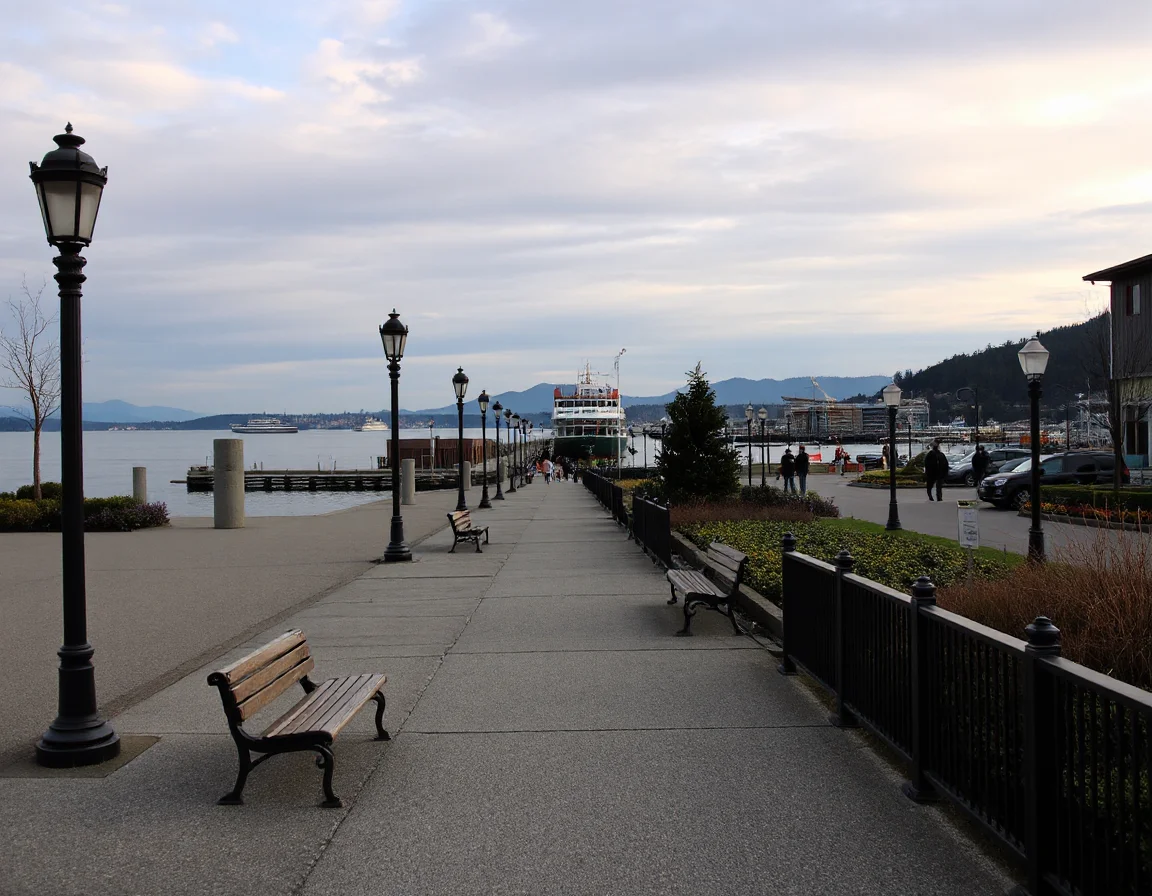
The central waterfront has been transformed in recent years with new public spaces and a more continuous pedestrian experience along Alaskan Way. Benches, viewpoints, open plazas, and access points toward the piers give visitors many reasons to slow down rather than simply pass through. The Seattle Aquarium, waterfront attractions, ferry terminals, and the Pike Place Market area sit close enough together to create a practical outing without requiring a long drive between stops.
For a longer route, the Elliott Bay Trail links the downtown waterfront area with Myrtle Edwards Park and Centennial Park. The trail is a favored corridor for walking, running, and cycling, with water on one side and Seattle’s urban skyline on the other. It also offers changing perspectives of the Port of Seattle, passing boats, the Olympic Mountains, and the city’s northern shoreline. Because weather can shift quickly near the bay, a light layer and comfortable walking shoes are useful additions to any waterfront plan.
The Elliott Bay Trail and waterfront paths can turn a short outing into a multi-neighborhood route, connecting the central waterfront with Belltown, Seattle Center surroundings, and the green space near Myrtle Edwards Park.
Olympic Sculpture Park adds another distinctive stop along this corridor. Its outdoor installations, sloped paths, and open lawns create a transition between the energy of the city and the quieter rhythm of the shoreline. Nearby Myrtle Edwards Park provides a more natural-feeling stretch of lawn, trees, and waterfront trail, making it easy to combine art, exercise, and a bay view in one visit.
Dining Stops and Everyday Conveniences Near the Water
The waterfront’s food scene ranges from quick seafood counters and coffee stops to polished dining rooms with views across Elliott Bay. Pike Place Market remains a major draw for produce, prepared foods, bakeries, and regional specialties, while the blocks around the waterfront offer a mix of casual and sit-down options. The appeal is not only the meal itself; it is the ability to pair it with a walk along the piers, a ferry departure, or a visit to a nearby cultural destination.
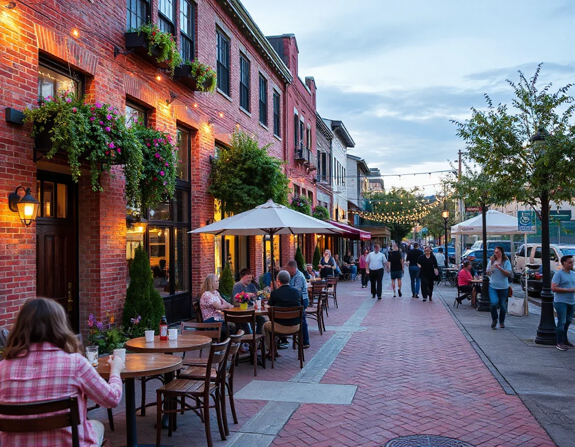
Dining near the water can be especially convenient for people coordinating a day in the city. A morning walk can lead into the market, an afternoon meeting can fit around ferry schedules, and an evening reservation can be followed by a stroll as the waterfront lights come on. Seasonal events, cruise activity, sports schedules, and summer tourism can affect crowd levels, so planning extra time is often worthwhile when visiting popular areas.
Beyond the best-known destinations, the nearby Belltown, Pioneer Square, and Downtown Seattle districts provide additional options for groceries, services, galleries, performance venues, and casual meals. Each area has its own streetscape and pace, yet all are connected to the waterfront within a relatively compact part of the city. For prospective home buyers, that proximity may be one factor to consider alongside building features, parking, storage, HOA details, and daily commute needs.
The waterfront also supports a flexible approach to recreation. Some people use the trail system as part of a regular running or cycling routine, while others prefer a slow route between public art, open viewpoints, and coffee stops. Waterfront access is not limited to a single activity; it is an amenity that can look different from one day to the next.
Explore Seattle community information
Transit, Ferries, and Connections Beyond the Shoreline
One of the waterfront’s practical advantages is how easily it connects to larger transportation networks. Washington State Ferries routes from Colman Dock provide service across Puget Sound, making the terminal an important regional link as well as a striking place to watch vessels arrive and depart. Passenger-only routes, depending on current schedules, can add another option for travel across the water. Ferry travel requires advance planning during peak periods, but it remains a distinctive part of everyday mobility in the region.
Just uphill from the waterfront, Downtown Seattle transit connections offer access to bus routes and Link light rail stations. The walk between the shoreline and these stations can involve elevation changes, so route choice matters, especially when carrying bags or traveling during wet weather. Elevators, pedestrian bridges, the Seattle streetcar in nearby areas, and ride-share pickup zones can also help make trips more manageable depending on the destination.
For commuters and frequent city visitors, the combination of ferries, rail, buses, sidewalks, and bike routes can reduce the need to rely on a single mode of transportation. It is worth checking current service maps, construction notices, parking rules, and ferry reservations before making decisions based on a typical route. Transit patterns evolve, and a short test trip at the time of day you expect to travel can reveal more than a map alone.
The waterfront’s connections also affect nearby real estate conversations. Condominiums and townhomes near central Seattle may offer different tradeoffs than detached homes farther from the shoreline, including building amenities, views, square footage, parking arrangements, and proximity to transit. There is no universal “best” location; the useful question is which combination of home features and access points supports your own priorities.
Bringing the Waterfront into Your Seattle Search
A thoughtful Seattle home search starts with more than bedroom counts and listing photos. Spend time walking the streets at different hours, noting noise levels, transit access, trail entrances, building conditions, and the distance between the front door and the places you expect to visit most often. Along the waterfront, even a few blocks can change the experience substantially, from the pulse of the ferry terminal to the open green space farther north.
Seattle’s waterfront rewards curiosity. Follow a trail beyond a familiar pier, pause at a new viewpoint, take a ferry as part of an afternoon outing, or explore how a light rail station connects to the shoreline. These experiences offer a practical way to understand the city’s geography and the many ways its neighborhoods meet the water.